DigiArt
Early 18th Century Globus Terrestris World Map - Digital Download
Early 18th Century Globus Terrestris World Map - Digital Download
Couldn't load pickup availability
File-size: 10600 x 7480 Pixel.
File: jpg
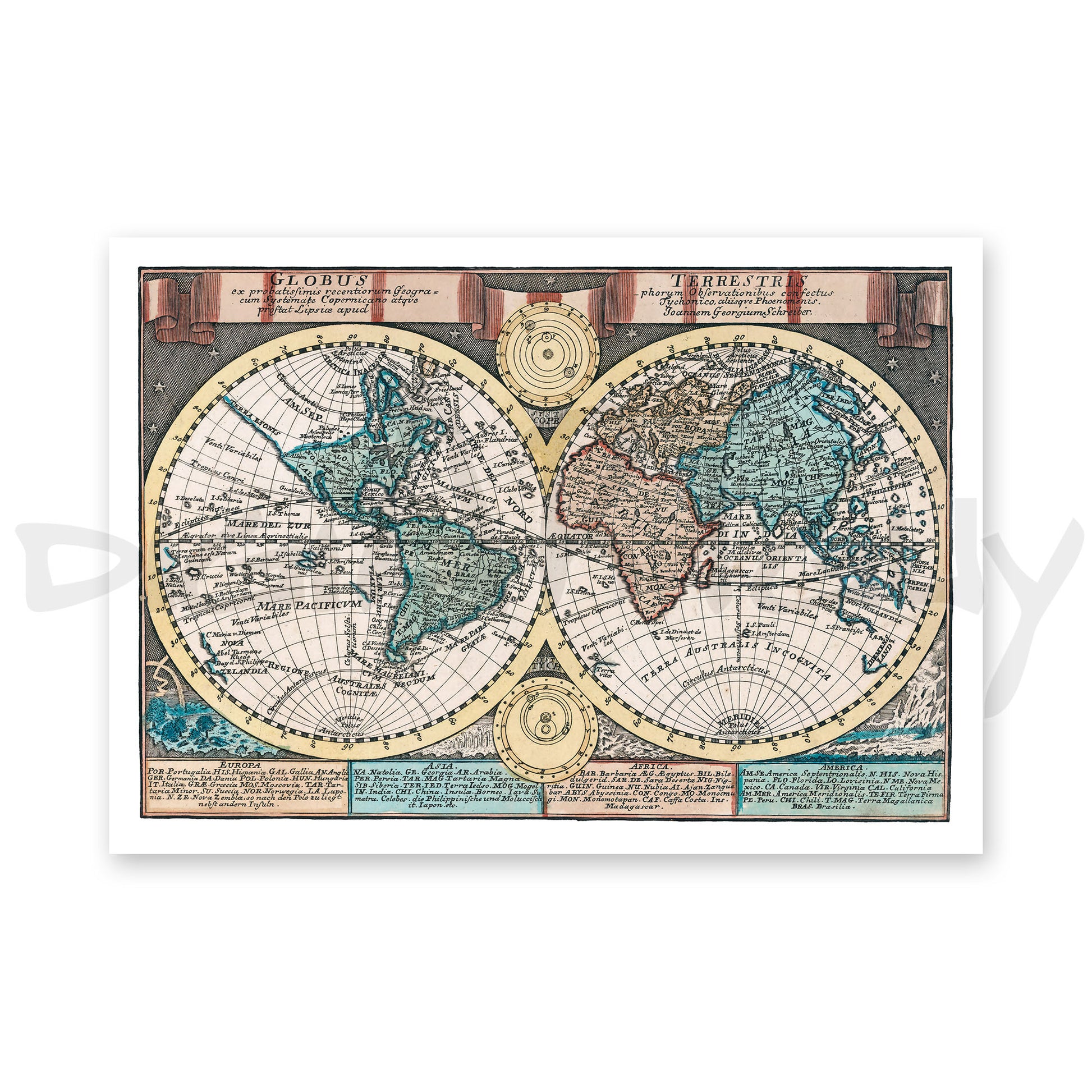
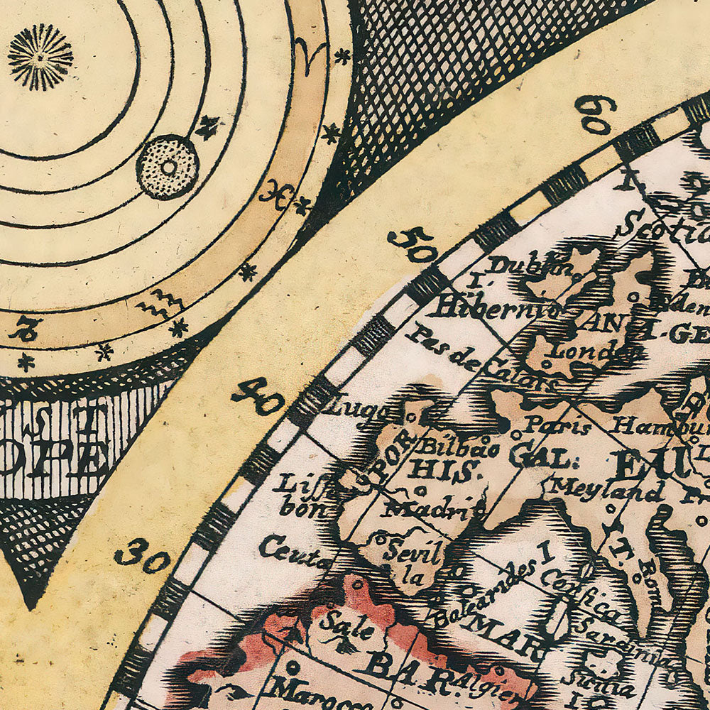
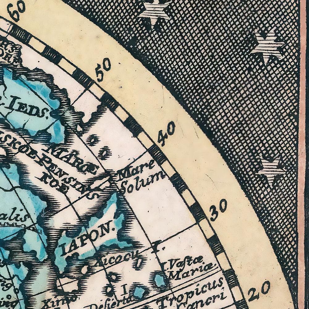
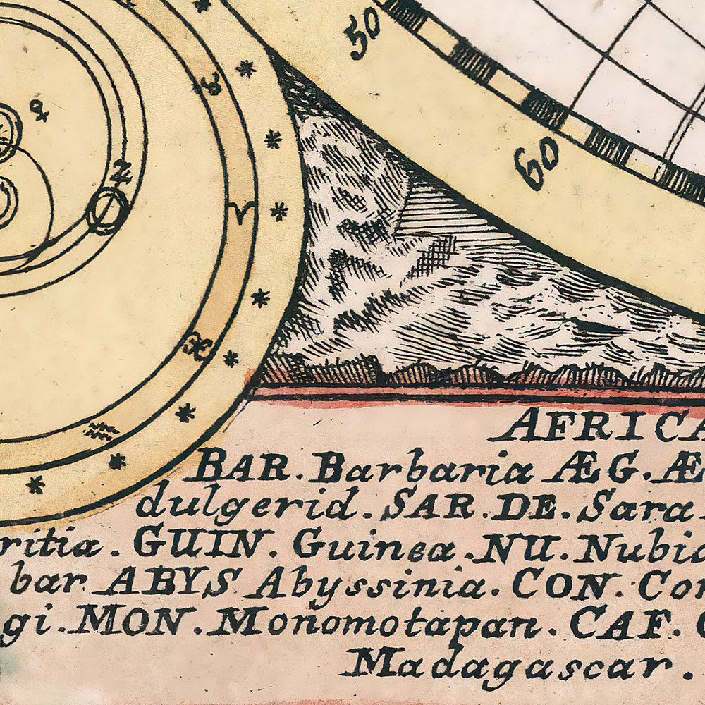
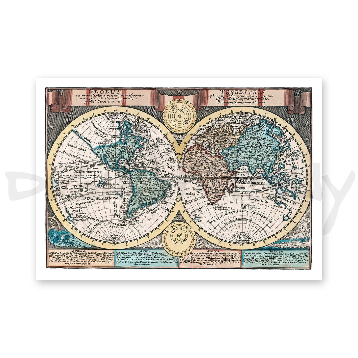
Explore the world as it was imagined in the early 1700s with this beautifully detailed digital reproduction of Globus Terrestris by renowned German cartographer Johann Georg Schreiber. This hand-colored double hemisphere map captures the artistry and intricate detailing characteristic of Homann’s work, showcasing both the geographic knowledge and decorative style of the period. The map is filled with classic cartographic embellishments, making it a fascinating historical piece that’s perfect for collectors, geography enthusiasts, and lovers of antique maps.
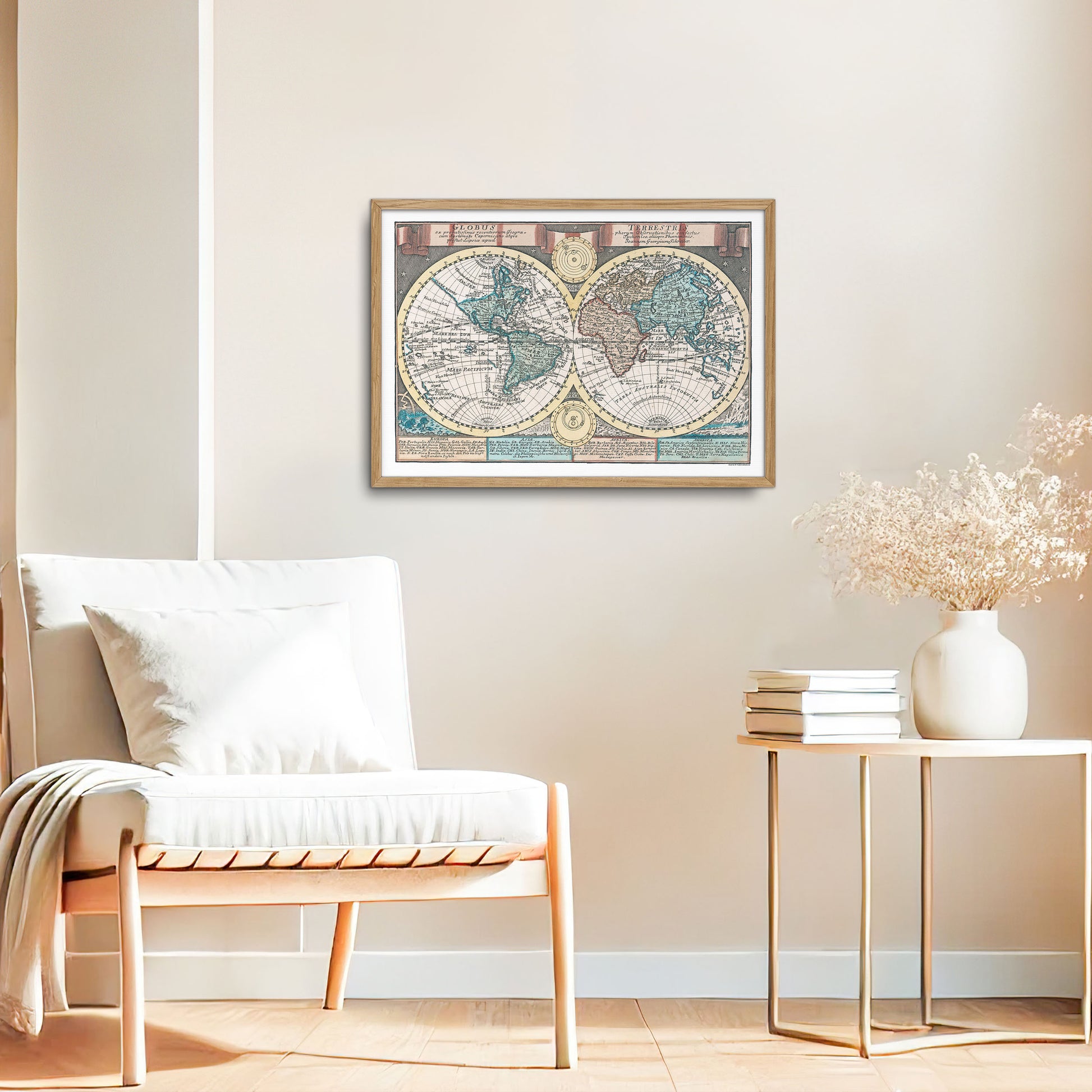
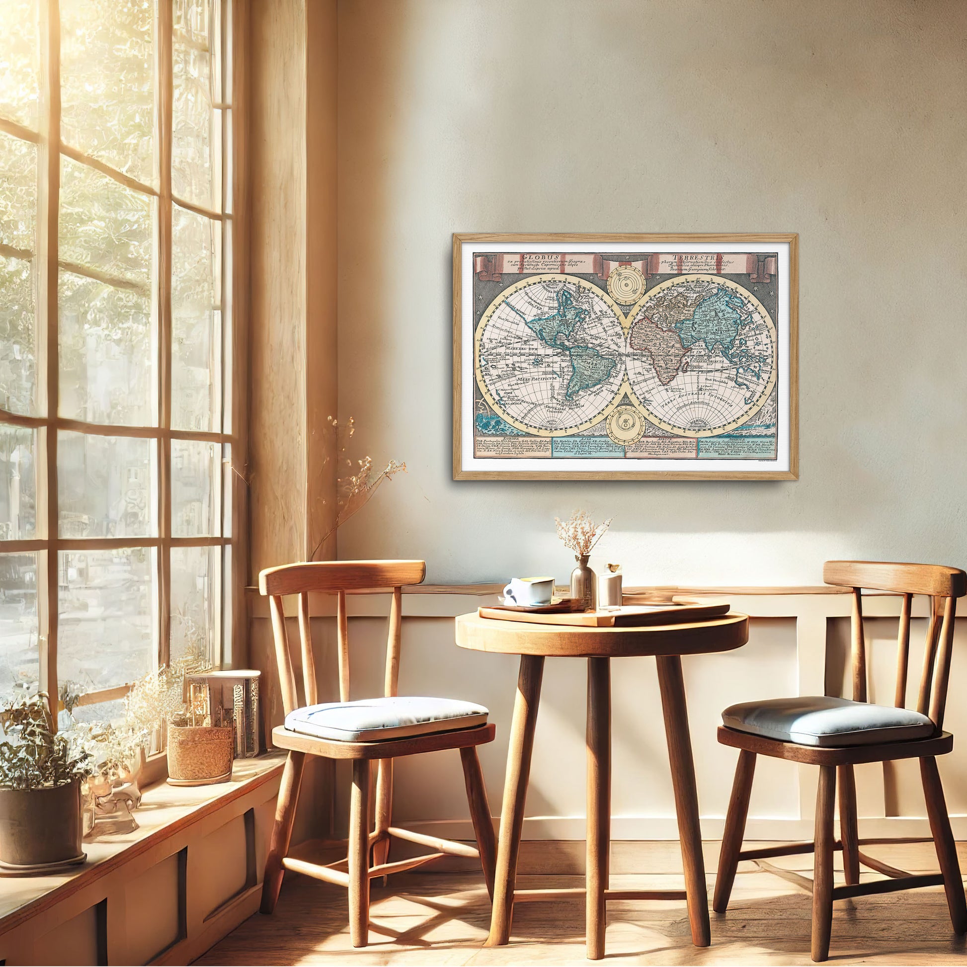
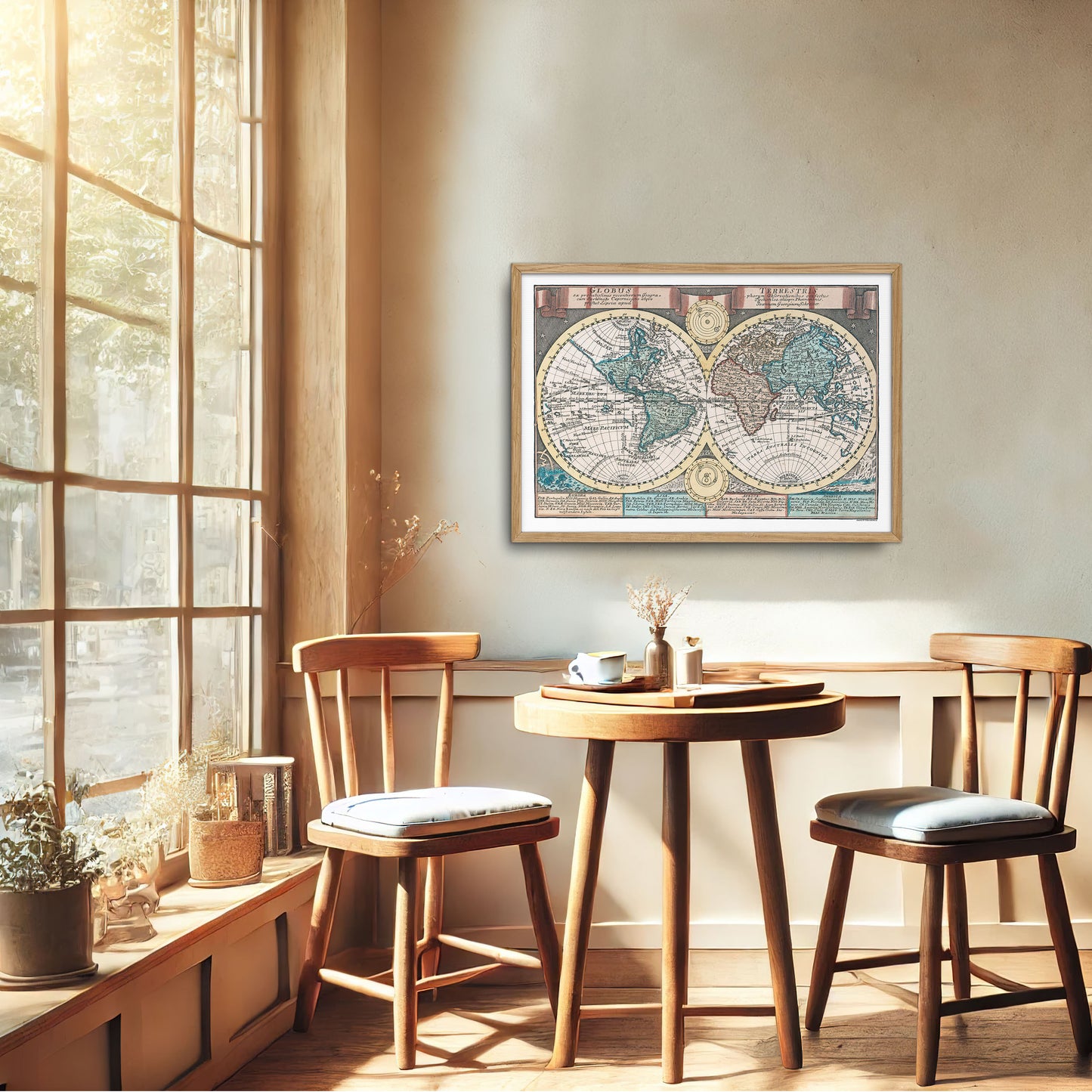
To enhance versatility, the background beyond the outer map borders has been carefully removed, making it easy to adapt this artwork to different print sizes and creative projects. This high-quality digital file preserves the original vintage details, offering a beautiful fit for wall art, study decor, or decorative uses. Whether displayed as part of a gallery wall or used as a standalone piece, this printable download brings a timeless touch of history to any space.

Ready to Print
high-quality files ready to print your own posters, or for use in your other projects such as decoupage, collage, school assignment, etc.

